agriculture.
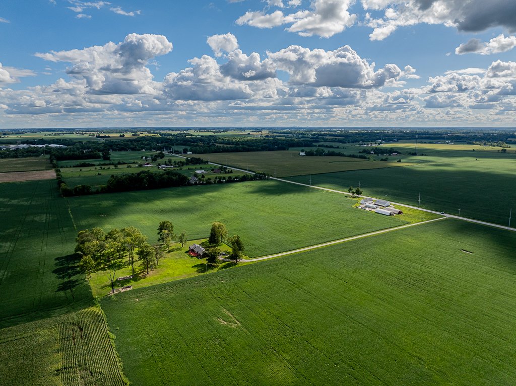
Data-driven precision agriculture is the future of farming.
Multispectral crop health indices can be created in minutes, providing a significant time advantage over traditional scouting.
Early stress detection
Stand counts
Yield prediction
Pest and disease management
Irrigation management
Ndvi.
Normalized Difference Vegetation Index (NDVI) is the most common index for monitoring mid-season crop health and biomass density. NDVI measures the difference between Near-Infrared and Red light absorption and reflection, and can be used to assess plant vigor and estimate grain yield.

ndre.
Normalized Difference Red Edge (NDRE) can provide mid- to late-season insights when NDVI imagery has become saturated. This index measures the difference between Near-Infrared and Red Edge light absorption and reflection to assess chlorophyll content and nitrogen deficiencies.

red edge chlorophyll index.
Chlorophyll Index provides an estimate of chlorophyll content and is an indicator of photosynthetic activity. This index can assist in monitoring overall plant health when combined with NDVI or NDRE.

surface model.
Surface models can be used to evaluate the adequacy of existing drainage or identify additional irrigation needs.

OSAVI.
Optimized Soil Adjusted Vegetation Index (OSAVI) reduces soil brightness interference in sparsely vegetated areas. OSAVI has most utility early in the growing season when replanting is still possible.