

construction.
About 9 out of 10 projects experience cost overruns, and less than 10% are completed on schedule.
We provide teams with precise aerial data to verify work, track progress, and document milestones - all without leaving the office.
Reduce site visits. Eliminate Disputes. Stay on schedule.
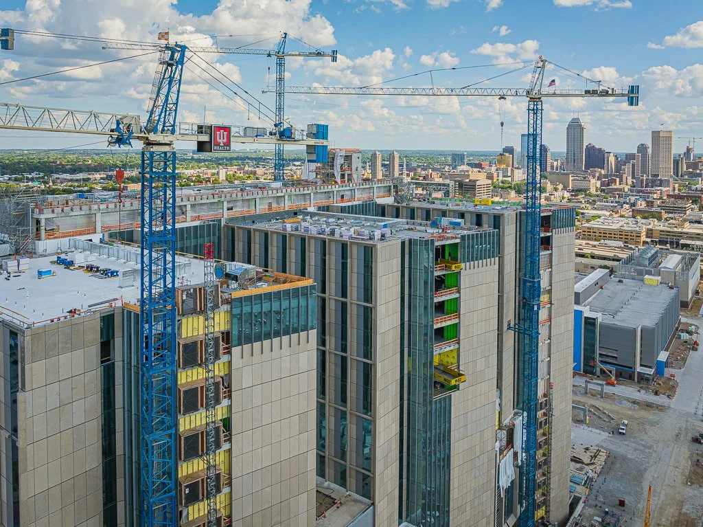
progress imagery.
Reduce coordination and scheduling errors that lead to mistakes and overruns. Prevent claims and disputes with a permanent record of installation.
4k video & high-res aerial photos
Consistent flight path for comparison
Construction timelapse
Installation close-up
mapping.
Quickly grasp and communicate site information with comprehensive top-down visualizations and 3D representations.

2D orthomosaic
Digital Elevation Model (DEM)
Contour Lines
Triangulated Irregular Network (TIN)
volumetrics.
Measure stockpiles volumes more safely and accurately than by hand. Improve aggregate tracking and management.

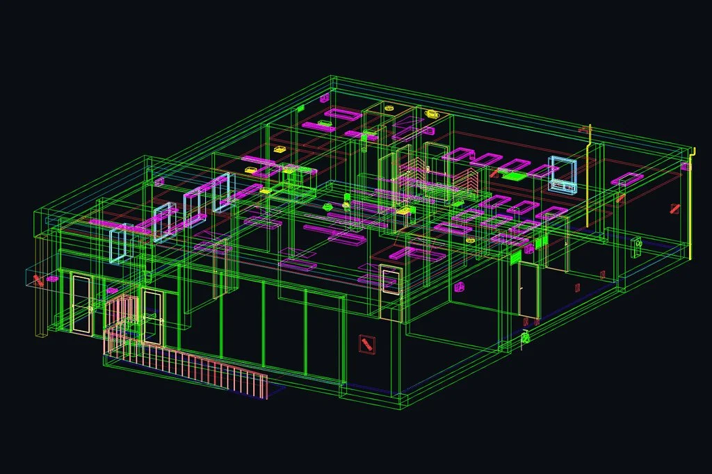
cad deliverables.
Create CAD drawings and models from interior and exterior LiDAR scans.
Floor plan
Interior and exterior elevation
Roof plan
3D model
Stockpile measurement
Cut and fill measurement
3d models.
3D models can be linked with interior scans and imagery to create a navigable digital twin.
Point cloud and 3D mesh
3D virtual tour
2D LiDAR floor plans
